Holeszów - short description
2017

2021
History
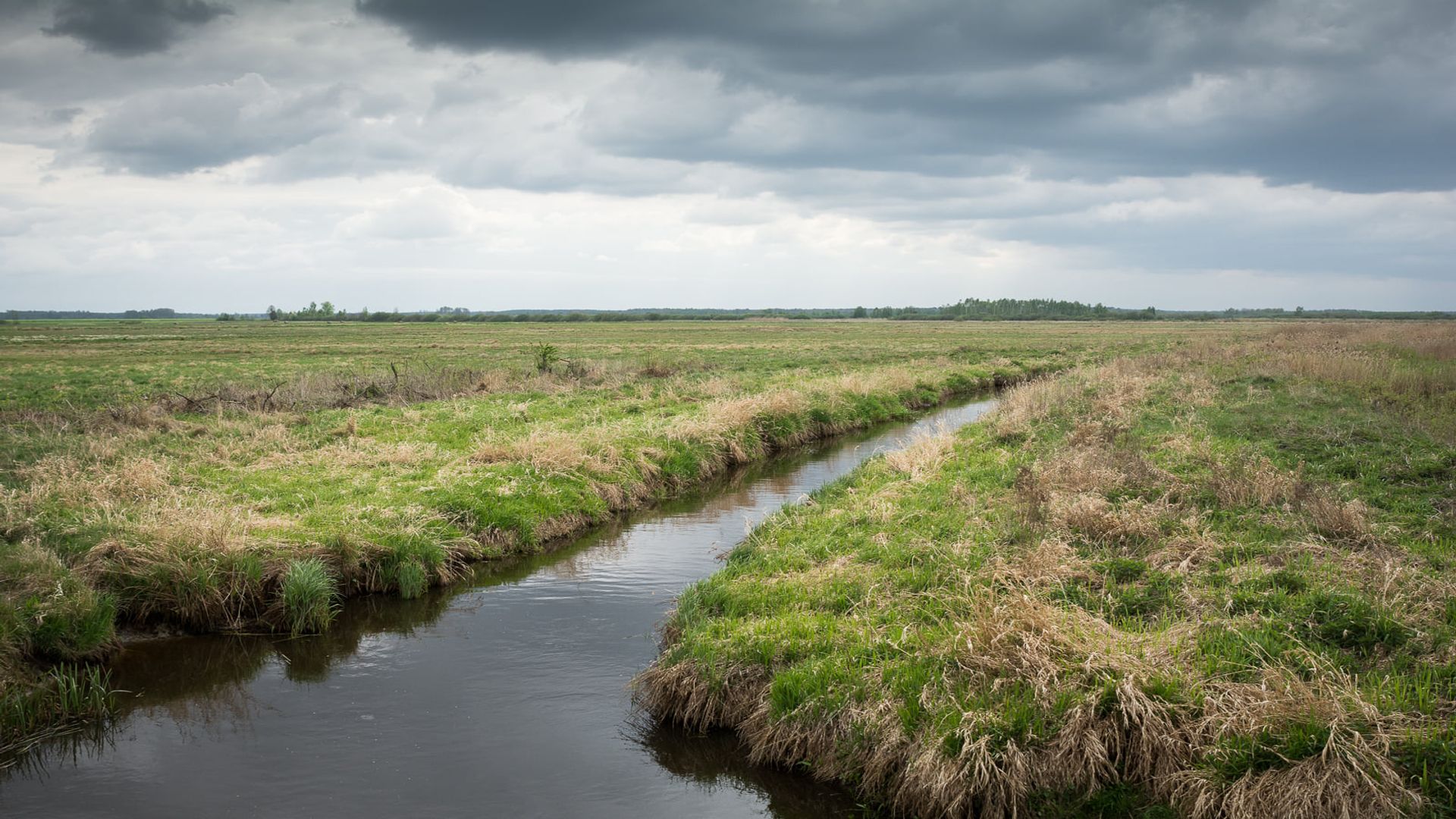
The site is a complex of intensively drained grassland on deep peat, the thickness of which decreases towards the edges of the River Hanna valley (towards the north and south). The grassland area has historically and currently been used for agriculture. In the 20th century, the area underwent very intensive land reclamation, at which agricultural management was most intensive. At the same time, a two-sided irrigation and drainage management system was in use. Unfortunately, due to lack of funds, this management did not persist: the damming facilities collapsed and only the drainage ditches remained.
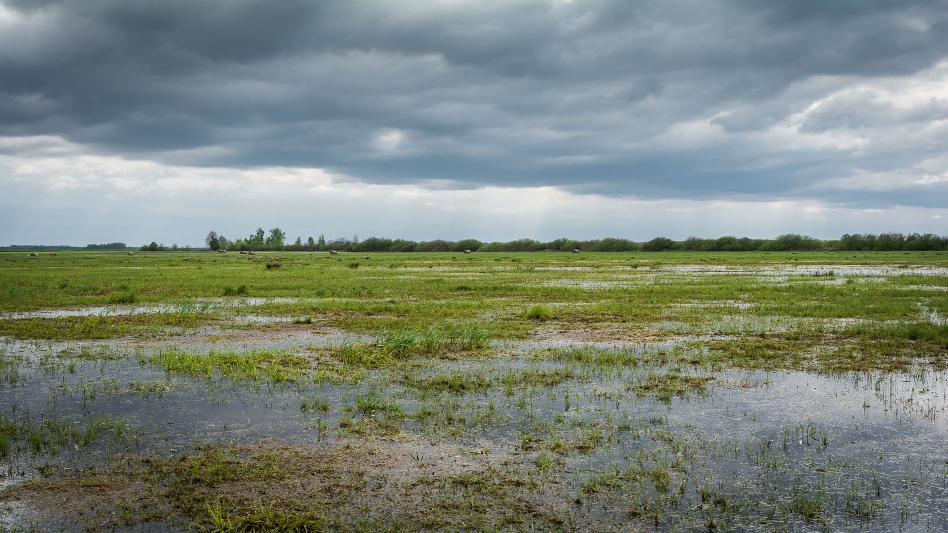
photo by Monika Klimowicz
Connectivity
The site is limited by natural barriers - elevations, road, riverbed and through the layout of the drainage ditch network. The site is located in the area of the Eastern Ecological Corridor. The site is one of the stops in the chain of habitats, creating a stepping stone type ecological corridor, through which it is possible for the fen mire species individuals to move between their stable populations present in the surrounding fen mires, e.g., Bagno Bubnow mire and ephemeral sites in the Bug valley. This will increase the accessibility for biodiversity to the main ecological corridors within which the bridging habitats are located.
The Hanna River, photo by Monika Klimowicz
Characteristics of the site
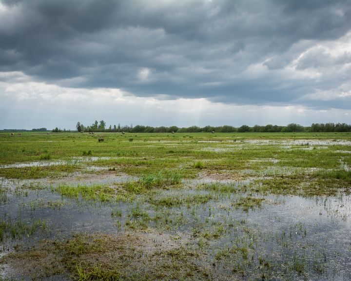
The site is a wetland area, being a fragment of the so-called Holeszów Marshes lying on the right bank of the Hanna River in the proximity of villages Holeszów and Lacka whereas there are no human settlements in the area itself. It is currently used as a hayfield and largely drained. The site belongs to private owners, with whom the OTOP BirdLife Poland has signed relevant agreements allowing the re-wetting works to be carried out on few plots.
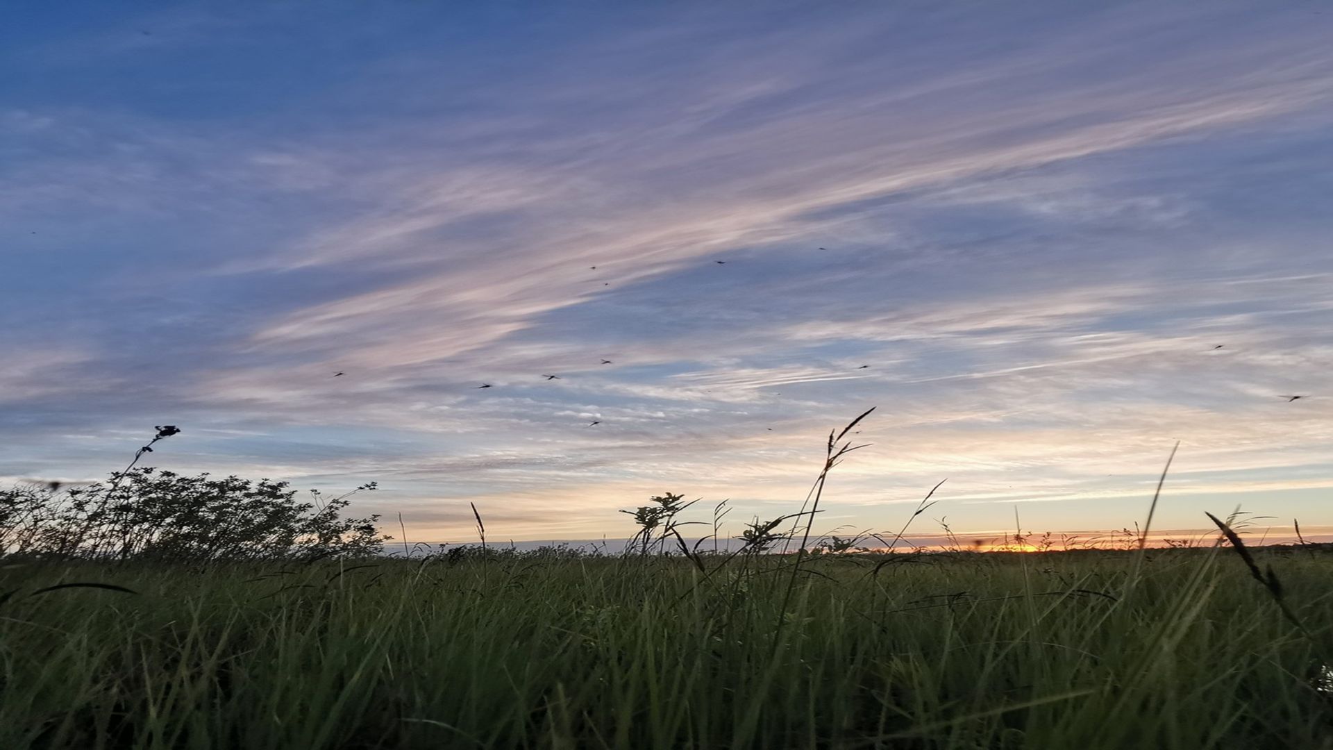
photo by Krzysztof Stasiak
Threats
Current status of surface water is ecologically and chemically bad. At the same time, the quantitative status of groundwater was determined as good, whereas their chemical status as bad. The greatest danger to the area is the overdrying of habitats. Both the abandonment of mowing in the meadows and the potential intensification of meadow management are important threats. Preventing rapid surface run-off of water would influence its storage in lower layers and increase the capacity of waters to self-purify. Therefore, there is an urgent need to maintain rational management in the area (including increasing retention) using appropriate agri-environmental packages.
photo by Monika Klimowicz
Species
The plant communities occurring in the northern part of the area (north of the canal) are humid meadows representing a poor community with a dominance of the Deschampsia caespitosa. A slight admixture in the species composition of these meadows is provided by species dependent on the greater humidity and fen mire habitat, i.e. Iris pseudacorus, Veronica longifolia, Carex acutiformis, Carex gracilis, Phalaris arundinacea. Among the dominant species, especially in the western part, there are also species associated with extremely dry meadows, e.g., Festuca rubra, Potentilla anserina, Holcus lanatus. The site is a place of occurrence of two bird species from the Annex I of the Birds Directive: Aquatic warbler (Acrocephalus paludicola) and Corncrake (Crex crex). In addition, the following protected bird species have been recorded here: Lapwing (Vanellus vanellus), Great snipe (Gallinago media), Common snipe (Gallinago gallinago), and Sedge warbler (Acrocephalus schoenobaenus).
photo by Monika Klimowicz
Restoration action
In order to preserve the existing habitat structure, it is necessary to stop the drainage and damming of water in the area. The construction by the OTOP BirdLife Poland of damming devices on the ditches draining the peatland between 2017 and 2021 was a response to the threats identified. The project consists of the construction of three damming devices, two of wooden construction, one of concrete construction, with adjustable damming height, with a maximum damming height of less than 1 m. The purpose of the damming devices is to retain spring water on the peat bog and, thanks to the adjustable dams, to lower the water level for a period in full summer, during the haymaking season.
photo by Monika Klimowicz
Monitoring
Aquatic Warbler monitoring, breeding bird monitoring. Watertable monitoring.
fot. Monika Klimowicz
Partners
Nature-based solutions in open wetlands restoration for biodiversity, water quality improvement and climate mitigation // 1.10.2024 – 30.09.2025
OTOP BirdLife Poland

Ukrainian Nature Conservation Group

Snowchange Cooperative